Arya Arabshahi

Territorial and climate strategy · Brussels

Every hectare is claimed several times over.

Food, cooling, housing and the routes of people and animals compete for the same ground, and each claim answers to a different institution. I make those claims comparable through spatial evidence, fieldwork and film, design the instruments with which ministries, cities and companies can settle them, and follow each decision into practice.

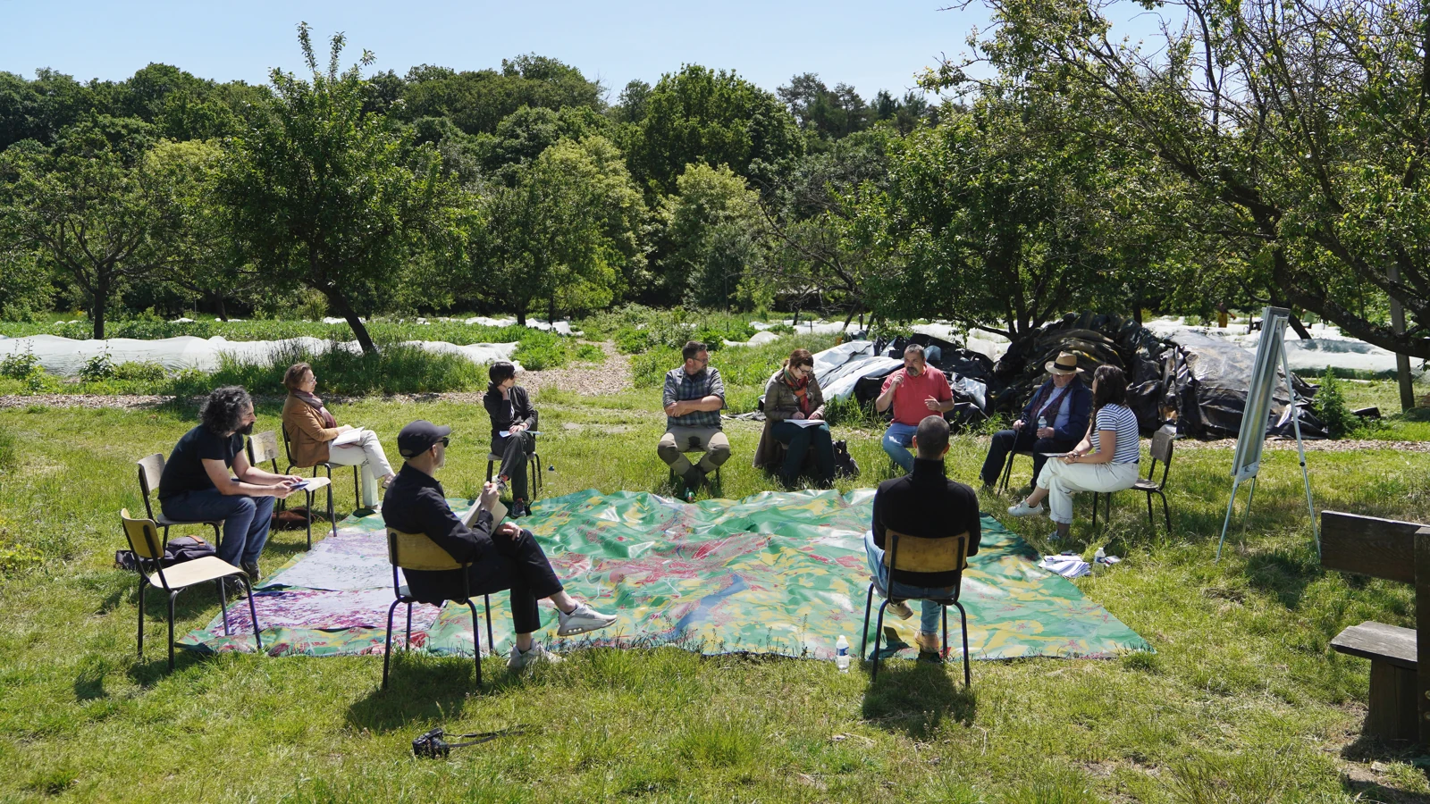
About twenty people sit on chairs in an orchard around a large map laid on the grass.
A field session around a territorial map.

Now

Programme Lead and Executive Committee member at NetZeroCities, the EU Cities Mission platform supporting 112 cities. Eurocities, Brussels.

Before

Founded and led Territories in Transition, the climate and territorial strategy service at 51N4E in Brussels, 2021 to 2025.

Training

Architecture at the Architectural Association, London. Master of Studies in Climate, Environmental and Urban Policy, University of Cambridge, 2026.

Where the work landed

Six results, each at the stage it reached.

Luxembourg · 2021 to 2023

Adopted

Designed the transferable development rights instrument that Minister Claude Turmes adopted as a flagship of Luxembourg in Transition and named among the next steps of the PDAT, the national spatial planning programme, in July 2023.

Read the case

Lyon · 2022 to 2025

Follow-on commissioned

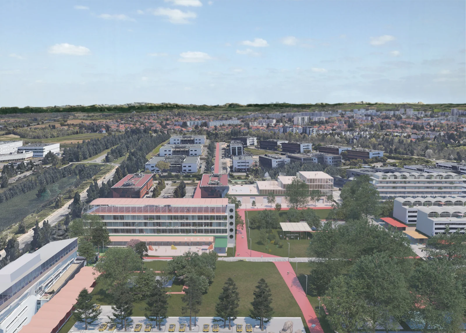
Led four climate-adaptive visions for 2,500 hectares east of Lyon, over a third of it facing obsolescence. The Métropole de Lyon then commissioned masterplans for the Parc Technologique and the golf course between Chassieu and Bron.

In Practice

Agglocentre, Luxembourg · 2022 to 2023

Pilots handed over

Secured an extension of the Greenbelt study for four field sessions, twenty interviews, four films and a public map. Several pilots passed to the Agglocentre authorities, and the minister's end-of-term review lists the greenbelt among the projects that came out of Luxembourg in Transition.

In Practice

NetZeroCities · 2025 to 2026

In beta

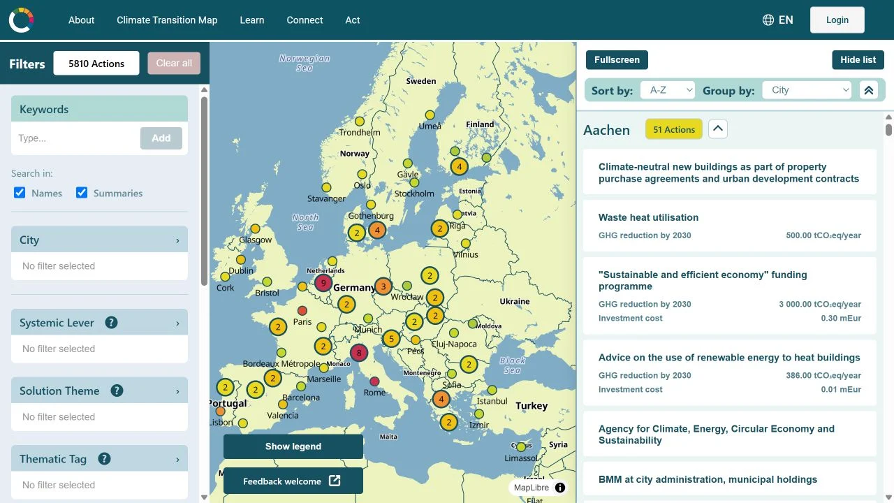
Won consortium backing for a shared City Data Library within sixty days, paid for by reprioritising resources left unspent across grants and partners. Its first public service, the Action Explorer, has made more than 5,500 planned city actions searchable since September 2026.

Read the case

Genk · 2018 to 2024

Approved and built

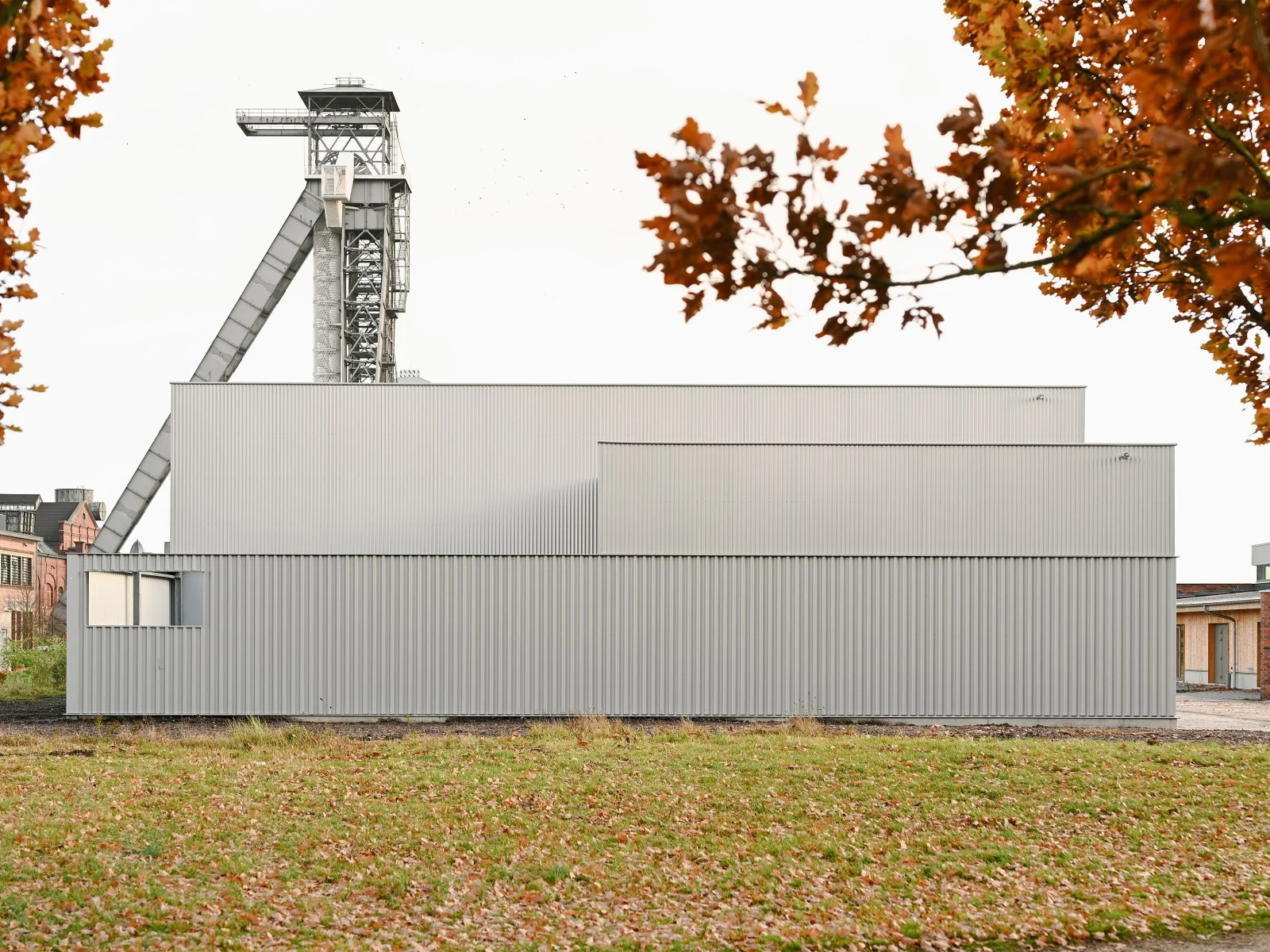
Led the C-Mine masterplan from the winning competition to approval by Genk's College of Mayor and Aldermen in 2021, and of Masterplan 2.0 and its phasing in 2024. Jester, the artists' compound whose competition I designed, led and won, was completed on the site in 2023.

In Practice

Zaventem · 2022

Plan in force

Negotiated a proposition for a recycling company to stay on a site that a regional plan had set to close to recycling by 2026, on conditions that included noise and dust containment, a path to the neighbouring hospital and free recycling for residents. Zaventem's zoning plan for the site, RUP Recy Park, is now in force.

In Practice
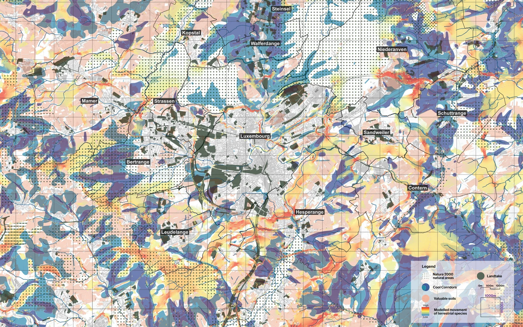
A map of Luxembourg's central agglomeration combining cooling landscapes, soils, natural areas, land take and modelled species movement, with ecological bottlenecks marked.
The Ecosystemic Belt. Cooling landscapes, valuable soils, natural areas, land take and modelled species movement read on one map around Luxembourg's central agglomeration. 51N4E with 2001, LOLA and specialist collaborators, for the Ministry of Energy and Spatial Planning, 2022 to 2023. Frame · Where not to build

Vital Belt, four films

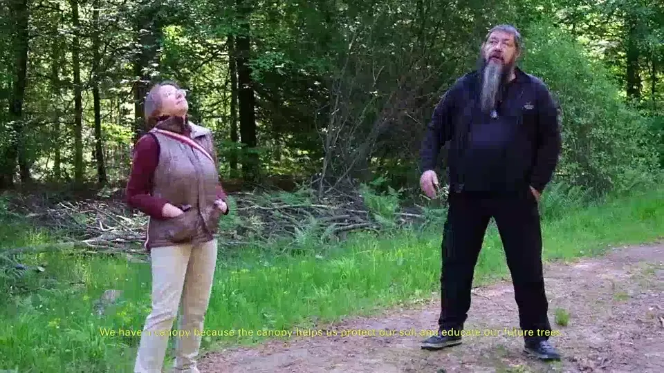
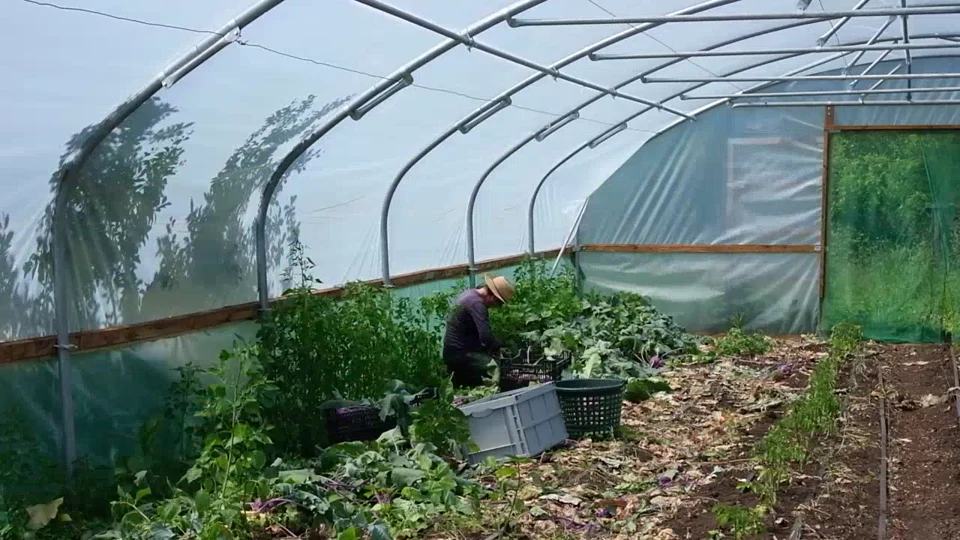
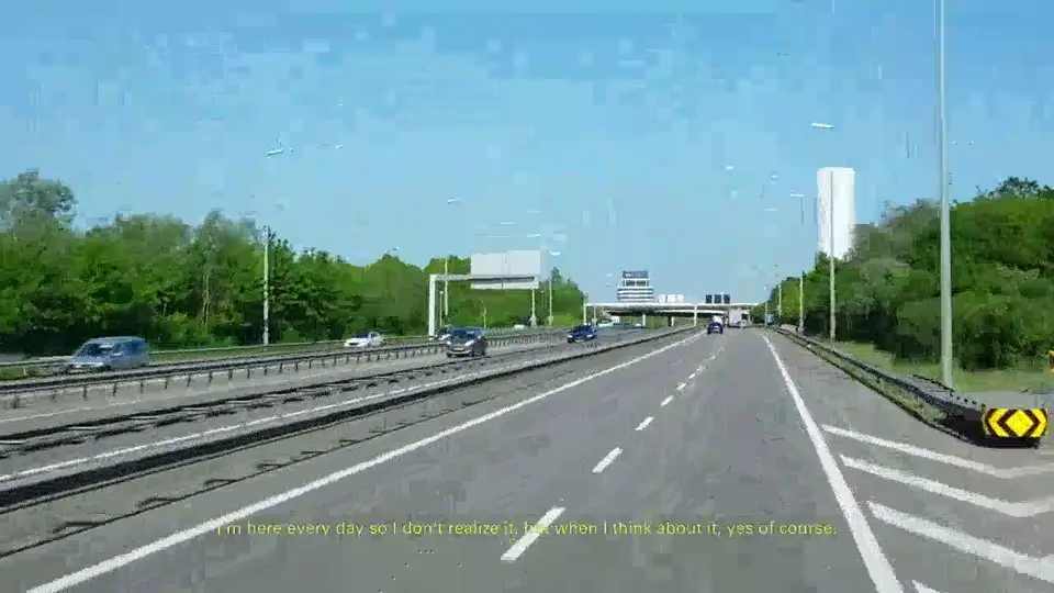
What the landscapes around Luxembourg's central agglomeration provide and what presses on them, told by four practitioners. Films by Valentin Bansac, Mike Fritsch and Alice Loumeau, made for the Vital Belt, the extension of the Greenbelt study I secured.

Still from the film. Cool, forests. Film, two minutes.
Cool · forests2:00
Still from the film. Food, farming. Film, two minutes.
Food · farming2:06
Still from the film. Pressure, growth. Film, two minutes.
Pressure · growth2:08
Still from the film. Fun, leisure. Film, under two minutes.
Fun · leisure1:48
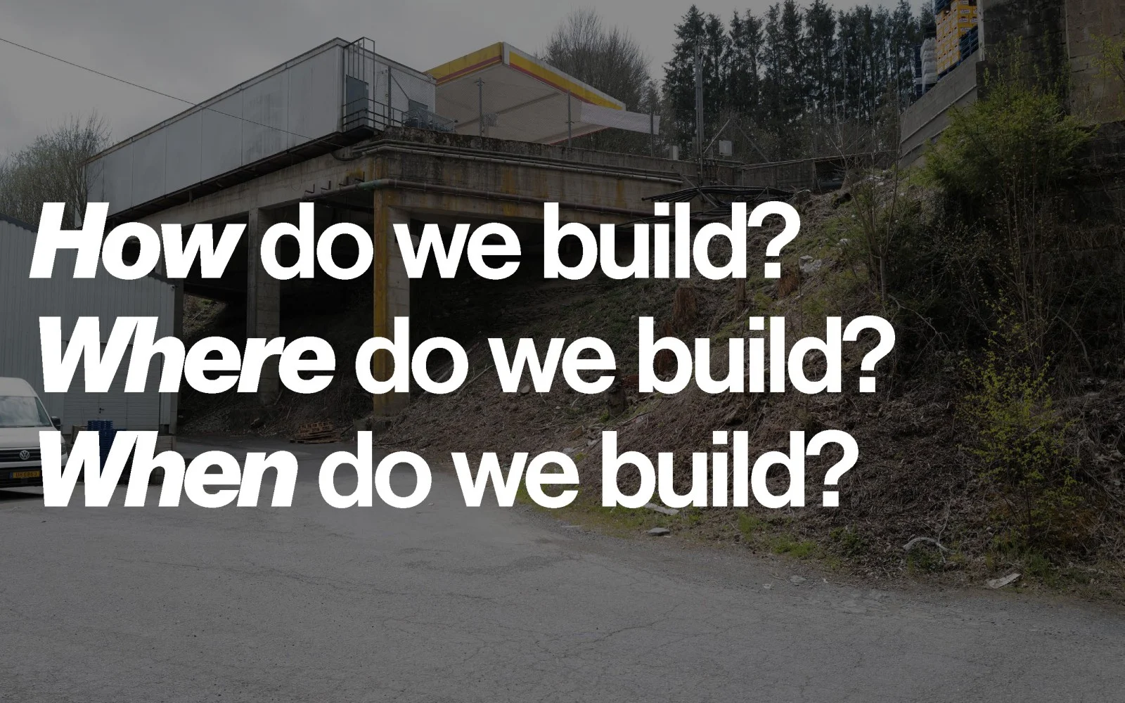
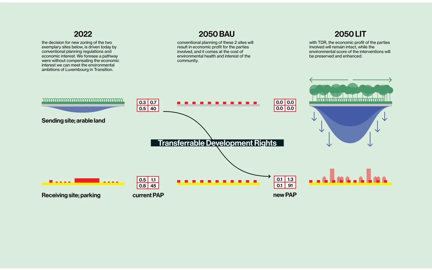
A spatial proposition from Luxembourg in Transition showing where, how and when to build. A diagram of transferable development rights linking growth to land and carbon limits.

Luxembourg in Transition. Where, how and when to build, and the transferable development rights instrument that lets owners of protected land sell its development potential without selling the land. 2001, 51N4E and LOLA for the Ministry of Energy and Spatial Planning, 2020 to 2022.

Read the case
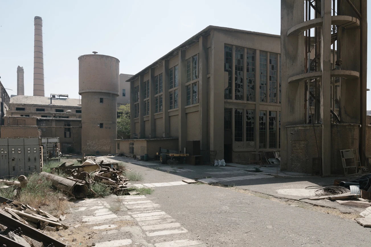
The derelict halls and yard of the Rey Cement Factory in Tehran, with spontaneous vegetation.
Rey Cement Factory, Tehran. Photograph by Amin Yousefi.

Ruderal Acts · Brussels and Tehran · 2020 to 2021

Gardening beyond the wall

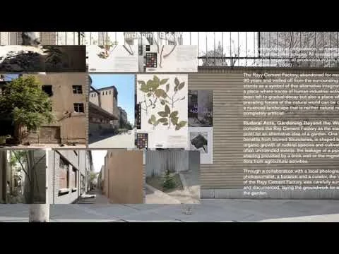
An inquiry into the spontaneous plants around Tehran's former cement works and the acts of care that sustain them, made with Love Di Marco through the HerMaP programme of BOZAR and the Goethe-Institut. When ownership disputes closed the factory, the inquiry became a distributed one, with twenty volunteers, photographers and botanists setting out their own definitions of care.

Still from the film. A gardener's contribution to Ruderal Acts by Negar Maaleki.
Gardener's contribution by Negar Maaleki
Presentation at BOZAR 9:52 · opens YouTube
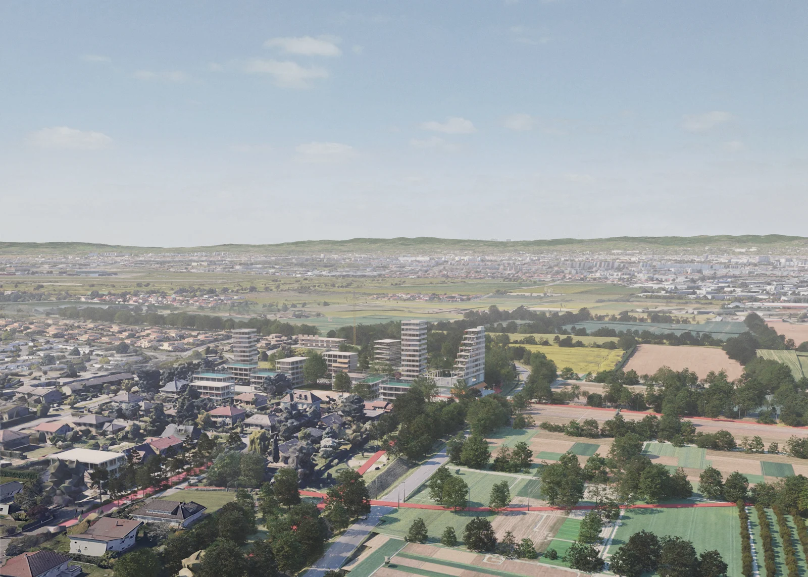
A proposed landscape-led neighbourhood in Chassieu in 2050.
Chassieu, a landscape-led alternative for 2050
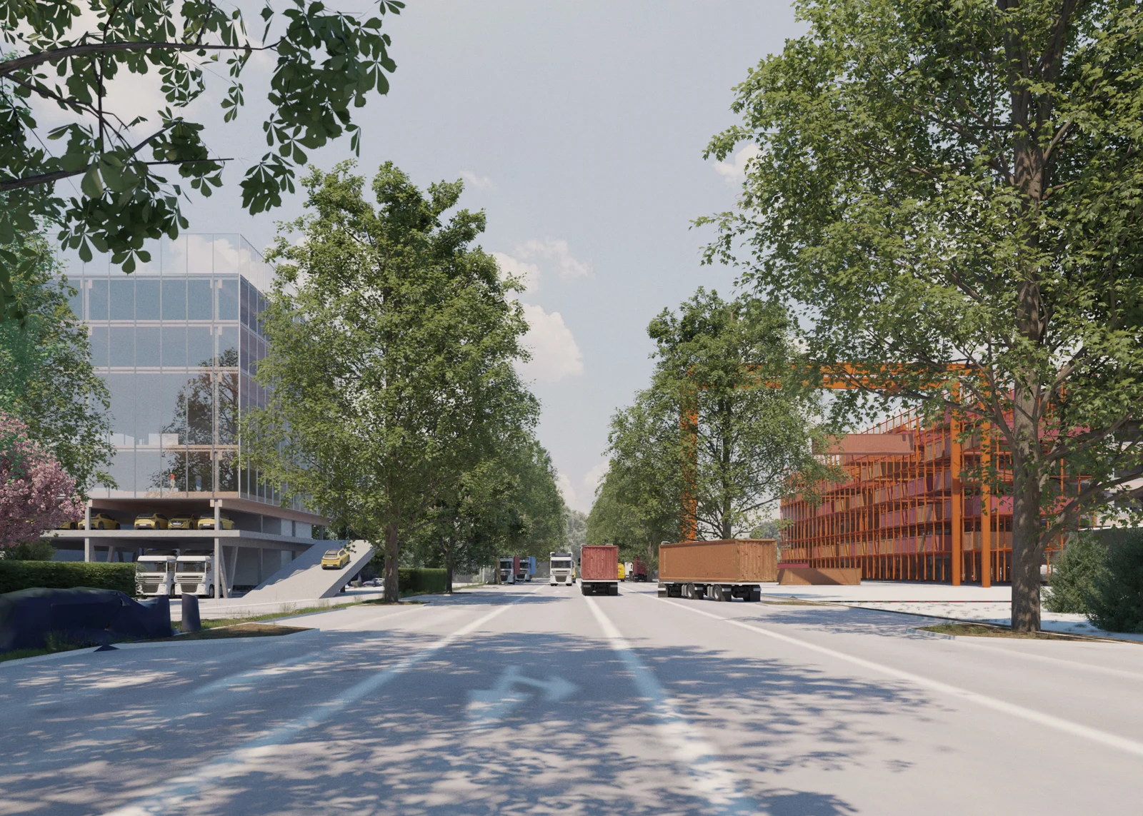
A proposed street in Mi-Plaine transformed by planting and new uses.
Mi-Plaine, a street shared by logistics, planting and new uses
Proposed buildings and landscape in the Parc Technologique.
Parc Technologique, density and landscape

Grande Porte des Alpes. Three of the four climate-adaptive visions for 2,500 hectares east of Lyon, proposing compaction over sealed and vacant land, cooling corridors and meanwhile uses. 51N4E with 2001, LOLA and Ville Ouverte for the Métropole de Lyon, 2022 to 2025. The images show proposals.

Frame · Proposition

Compaction zones

A growth strategy can begin with the capacity of places already occupied.

Read the frame
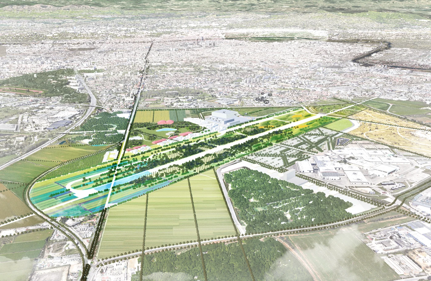
An illustrated landscape of the Lyon-Bron airport land transformed by 2050, with planting across the former airfield.
Lyon-Bron airport, a proposed landscape for 2050. Illustration by LOLA for the Grande Porte des Alpes team.
The Action Explorer interface, with filters, a map of European cities and a list of planned actions.
The Action Explorer, public beta, October 2026.

Programme leadership · 2025 to present

A shared library for 112 cities

At NetZeroCities I lead two work packages of the EU Cities Mission platform, with grant budgets of nearly €4m to 2030 and task leads in ten partner organisations, and sit on its Executive Committee. The Action Explorer is the first public service built on the City Data Library.

Read the case

Research · University of Cambridge · 2026

All research

Blueprints for city-led urban climate finance

Across Bristol, Angers and Stockholm, formal control proved a poor predictor of the agency a city can use. That agency came from the city's competence as a client and from information rights it could enforce.

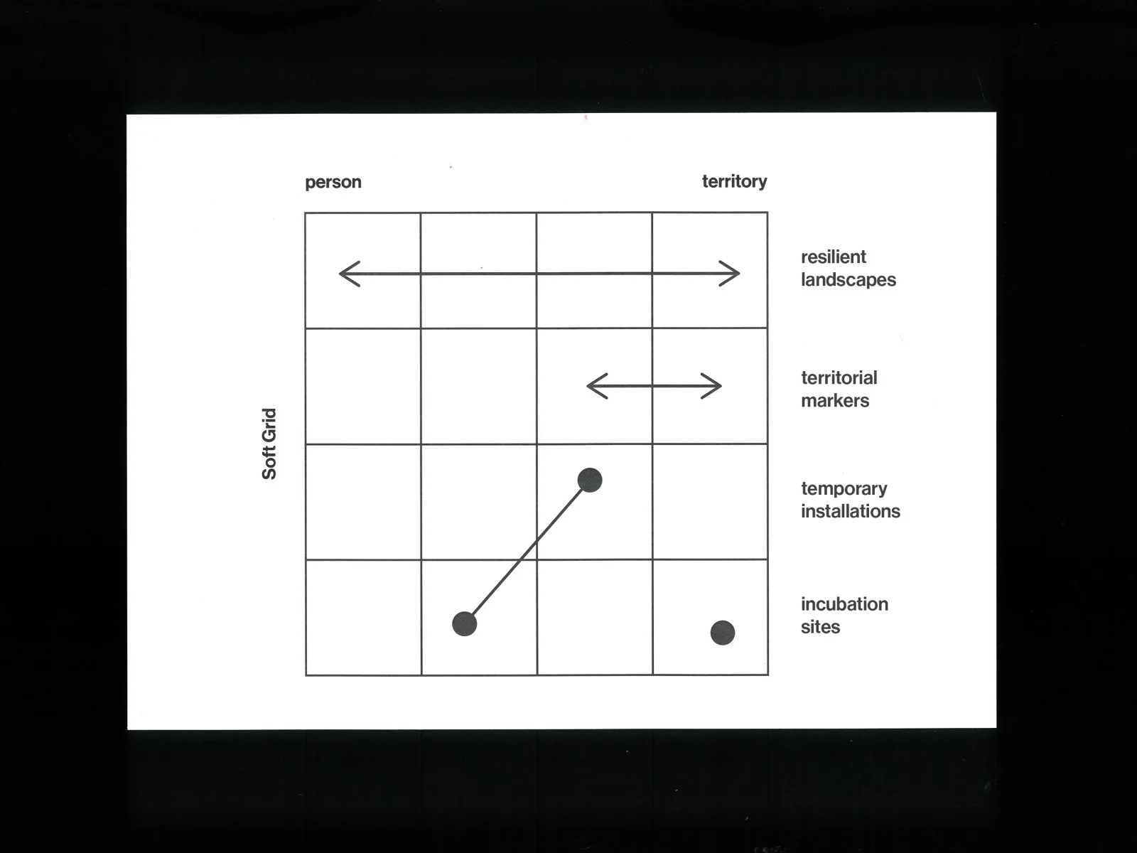
A diagram placing resilient landscapes, territorial markers, temporary installations and incubation sites between the scales of person and territory and between short and long duration.
C-Mine, Genk. The soft grid gives each intervention its own footprint and lifetime, from a temporary installation to a resilient landscape. 51N4E for the City of Genk and C-Mine, from 2018.
The Jester atelier building at C-Mine beside the former mine infrastructure.
Jester, C-Mine. Ateliers, a residence and a Kunsthalle for artists, completed in 2023. 51N4E with Point Supreme and Plant en Houtgoed for the City of Genk and JESTER vzw.

Talks and conversations

ACC Lectures 2022, 51N4E Lecture at Politecnico di Torino · 1:27:42 · opens YouTube Rethinking Clients Critical Practice roundtable, AA School of Architecture · opens YouTube Citymaking in times of crises The Grand Challengers podcast with Peter Marcus Bach, 2023 · 1:12:58 · opens YouTube
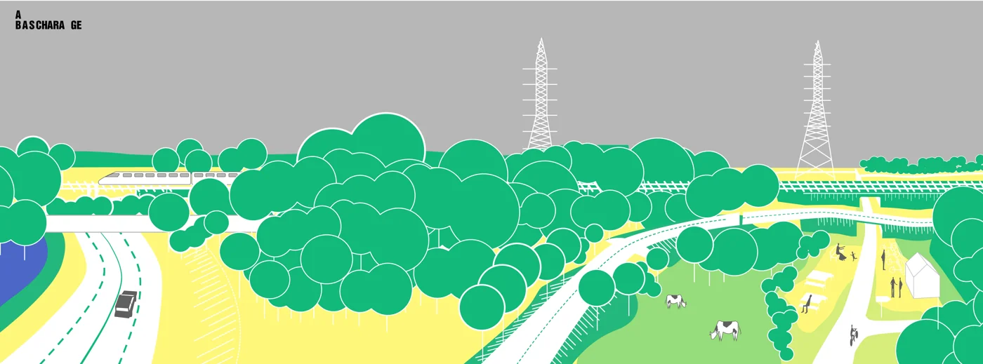
A long drawing of a landscape crossing where infrastructure, planting and routes for people and animals meet.
Interurban Landscapes. A design study for cohabitation between infrastructure, landscape and movement, in one of seven areas named for intervention between Agglocentre and Region Sud. 51N4E with 2001, LOLA and specialist collaborators, 2023.

Frames

Short propositions drawn from particular projects.

Where not to build A map can give a limit a location, and a location can be discussed. Practice note Compaction zones A growth strategy can begin with the capacity of places already occupied. Proposition Systems of nature, systems of governance A shared landscape brings responsibilities together before institutions do. Open question