Practice note
From the Ecosystemic Belt, Luxembourg, 2023
Where not to build
Where ecological value and development pressure meet, a planning conversation needs a shared picture.
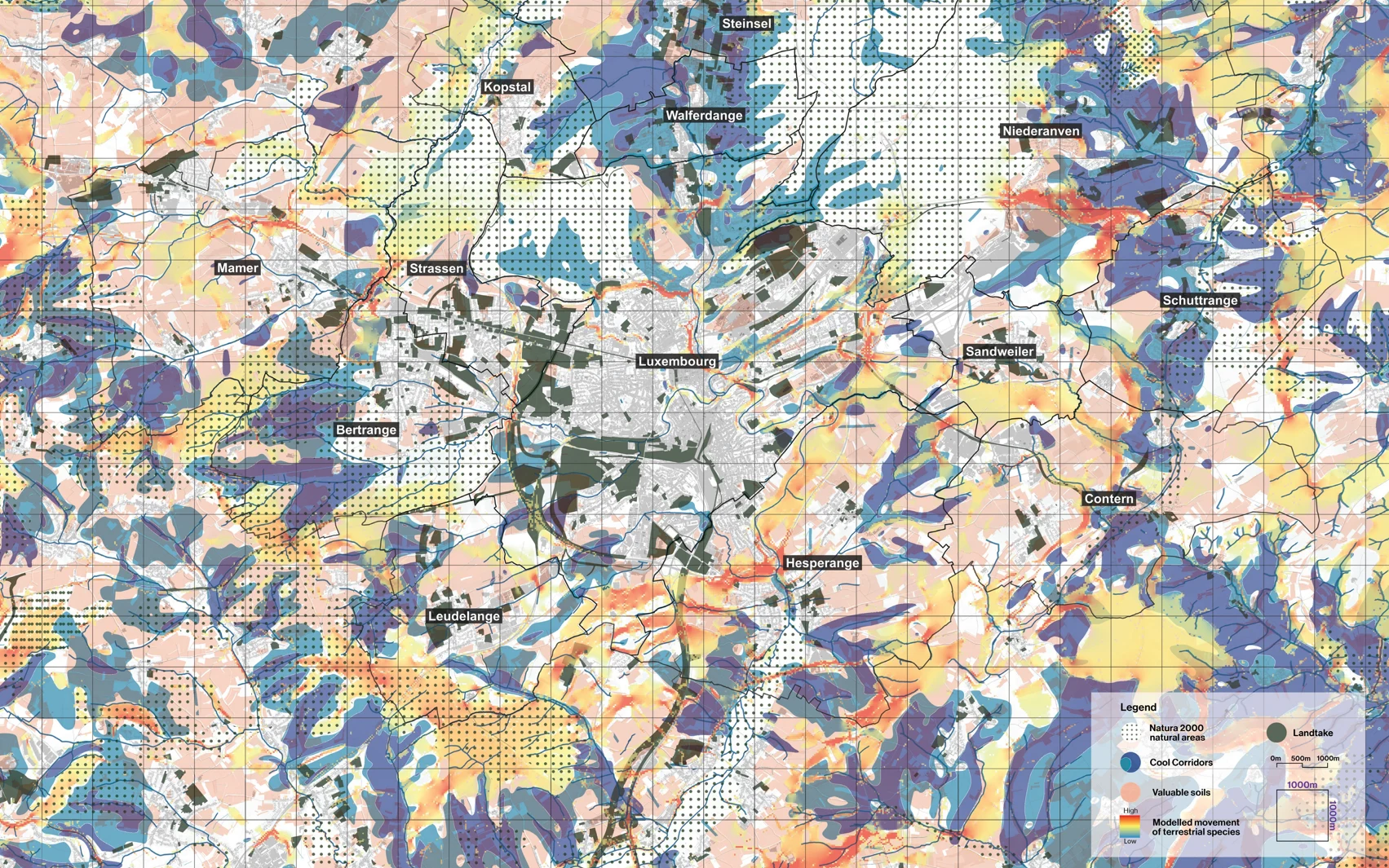
A regional study rarely has the time or the budget to investigate every ecological relationship in equal depth. A useful map has to make a selection, and keep that selection open to question.
For the Ecosystemic Belt we assembled representative indicators of ecosystem services, and of the pressures on them, around Luxembourg's central agglomeration. Cooling landscapes, valuable soils, natural areas, land take and modelled species movement could be read together, and the portrait located the places where several of them meet. We called those places bottlenecks.
A bottleneck is a way to begin a discussion about a particular place. Which service depends on this ground, what pressure could interrupt it, and who has the knowledge and the responsibility to respond? The map ties a regional concern to a situation people can examine together, and it changes the vocabulary of a growth debate. Open land carries functions that belong in the decision beside the demand for development, and once those functions are visible, their protection has a basis for argument.
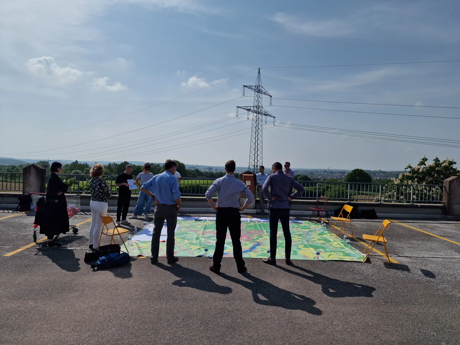
The atlas was one part of the study. Interviews and field sessions brought knowledge the spatial layers could not hold. The indicators are representative, the movement patterns are modelled and the proposed protections are recommendations, and reading the map well means keeping those distinctions in view.
From the Ecosystemic Belt, by 51N4E with 2001, LOLA and specialist collaborators, for the Ministry of Energy and Spatial Planning. I framed and led 51N4E's contribution.